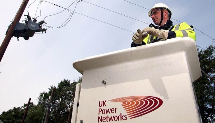
UK Power Networks, which happens to be the British network operator, has been making use of the geospatial data in order to accelerate local works like new connections as well as maintenance.
The company has been going ahead and piloting the software 1Streetworks, which goes on to offer certain traffic management plans, with the finding that the average time that’s taken to connect new or altered power connections decreased by a quarter through almost 300 Surrey roadworks sites where it happened to be used.
On the basis of this outcome, the UK Power Networks happens to be now planning to execute the technology on a larger one-year trial across Kent so as to test its usage in other workstreams throughout the company.
According to streetworks performance manager, UK Power Networks, Paul Dooley, planning streetworks to high standards, they expect takes time, and there are a few who have tried to revolutionize the process during the 23 years in the sector that he has been in.
He added that, hence, he is indeed excited when it comes to the potential of 1Streetworks so as to streamline intricate traffic management plans, come up with better communication with customers as well as highway authorities, and also enhance the movement and accuracy when it comes to streetworks plans.
It is well to be noted that traditionally, a streetwork design plan in terms of a smaller power connection, overhead line, or even underground cable repair mostly goes on to need a surveyor so as to assess the site, take up measurements, and thereafter plot signage on a CAD system, which is a process that can take hours of work, considering the requirement to maintain high levels of safety as well as accuracy and to meet sector regulations.
Apparently, the cloud-based 1Streetworks from its Cambridge headquartered location as well as geospatial data specialist 1Spatial happen to be able so as to produce similar plans on-site within two minutes.
The point is that once the user plots the location of the work right on to the map, the software immediately plans site-specific traffic management, thereby combining layers of maps with main roads, lane rental, bus stops, as well as streetworks rules.
The CEO of 1Spatial, Claire Milverton, said that the pilot has been a major milestone for the company and also a culmination of massive years of work as well as investment that has gone into it.
She further said that they are indeed delighted that their innovative 1Streetworks application has gone on to deliver such fantastic results for the UK Power Networks as well as its customers, and they indeed look forward to executing the software much more across the network in the coming months.
It is well to be noted that the UK Power Networks already has 190,000km of cables and goes on to deliver thousands of streetworks per year across London, the southeast, and the east of England.
Apparently, on average, there are more than 4 million low-speed road works that happen to be undertaken in the UK every year.
It is worth noting that 1Streetworks was developed in the first phase with GB gas network operator Northern Gas Networks in order to speed up the works when it comes to underground pipelines.


